California's Historic Mission Trail
An approximately eight-hundred-kilometre historical journey linking California's twenty-one Spanish missions from San Diego to Sonoma through living Indigenous homelands and a complex colonial history. This is not a continuous walking trail: safe pedestrian alignments, lodging, water, access and other services require independent, section-by-section planning.
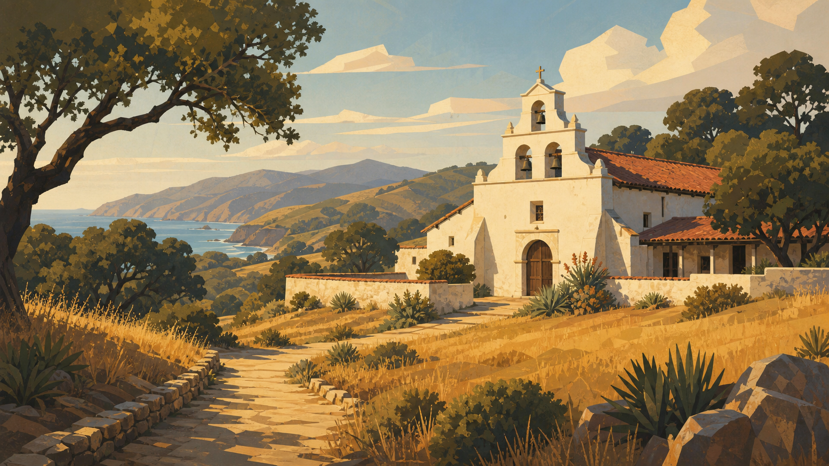
Curated orientation points rather than a turn-by-turn navigation guide. Route variants can change the exact distance. For this trail, the kilometre marks are approximate narrative pacing—not verified walking-stage distances.
-
Mission San Diego de Alcalá USAkm 0.0 · USA
The first mission in the chain, founded in 1769; begin by recognizing the Kumeyaay homeland and the mission system's lasting consequences.
Stop: milestone · Elevation not recorded
-
Mission San Luis Rey de Francia USAkm 60.0 · USA
A large mission complex east of Oceanside, traditionally called the King of the Missions.
Stop: milestone · Elevation not recorded
-
Mission San Juan Capistrano USAkm 105.0 · USA
Known for the preserved ruins of its great stone church and the surviving Serra Chapel.
Stop: milestone · Elevation not recorded
-
Mission San Gabriel Arcángel USAkm 175.0 · USA
A fortress-like mission east of Los Angeles with a distinctive bell wall.
Stop: milestone · Elevation not recorded
-
Mission San Fernando Rey de España USAkm 215.0 · USA
Its long convento once served travelers crossing the San Fernando Valley.
Stop: milestone · Elevation not recorded
-
Mission San Buenaventura USAkm 285.0 · USA
A coastal mission founded in 1782 in the center of modern Ventura.
Stop: milestone · Elevation not recorded
-
Old Mission Santa Barbara USAkm 330.0 · USA
Twin bell towers overlook Santa Barbara and the Pacific.
Stop: milestone · Elevation not recorded
-
Old Mission Santa Inés USAkm 380.0 · USA
A mission above the Santa Ynez Valley, near present-day Solvang.
Stop: milestone · Elevation not recorded
-
La Purísima Mission USAkm 405.0 · USA
Now a California State Historic Park with extensively reconstructed mission buildings.
Stop: milestone · Elevation not recorded
-
Mission San Luis Obispo de Tolosa USAkm 480.0 · USA
A mission at the heart of San Luis Obispo, associated with early clay-tile roofing.
Stop: milestone · Elevation not recorded
-
Mission San Miguel Arcángel USAkm 525.0 · USA
Known for surviving interior murals created under Indigenous labor and artistry.
Stop: milestone · Elevation not recorded
-
Mission San Antonio de Padua USAkm 570.0 · USA
A remote mission in oak grassland; access conditions should be checked before any visit.
Stop: milestone · Elevation not recorded
-
Mission Nuestra Señora de la Soledad USAkm 610.0 · USA
An isolated Salinas Valley mission reconstructed from ruins.
Stop: milestone · Elevation not recorded
-
Mission San Carlos Borroméo de Carmelo USAkm 650.0 · USA
The Carmel mission served as Junípero Serra's headquarters and burial place.
Stop: milestone · Elevation not recorded
-
Mission San Juan Bautista USAkm 680.0 · USA
A broad three-aisled church beside the San Andreas Fault and a preserved historic plaza.
Stop: milestone · Elevation not recorded
-
Santa Cruz Mission State Historic Park USAkm 710.0 · USA
The state historic park preserves the mission-era adobe; the nearby chapel is a reduced replica.
Stop: milestone · Elevation not recorded
-
Mission Santa Clara de Asís USAkm 740.0 · USA
The mission church now stands within Santa Clara University.
Stop: milestone · Elevation not recorded
-
Mission San José USAkm 760.0 · USA
A reconstructed mission church at the foot of the East Bay hills in Fremont.
Stop: milestone · Elevation not recorded
-
Mission San Francisco de Asís (Mission Dolores) USAkm 775.0 · USA
The oldest surviving building in San Francisco, beside the later basilica.
Stop: milestone · Elevation not recorded
-
Mission San Rafael Arcángel USAkm 790.0 · USA
A twentieth-century chapel marks the site of the former mission hospital and later mission.
Stop: milestone · Elevation not recorded
-
Mission San Francisco Solano USAkm 800.0 · USA
The northernmost and last-founded California mission, now part of Sonoma State Historic Park.
Stop: milestone · Elevation not recorded
Source and edition notes
Editorial organization not yet recorded · unreviewed
This check concerns the linked source reference and virtual edition, not on-trail conditions. Unknown elevations are left absent; ascent and descent have not been collected for this edition.
This is a virtual itinerary, not a navigation guide. Source material and mileage can change. Check the maintaining organization for current conditions, access, permits, water and camping information. A virtual rest is storytelling, not a campsite recommendation.