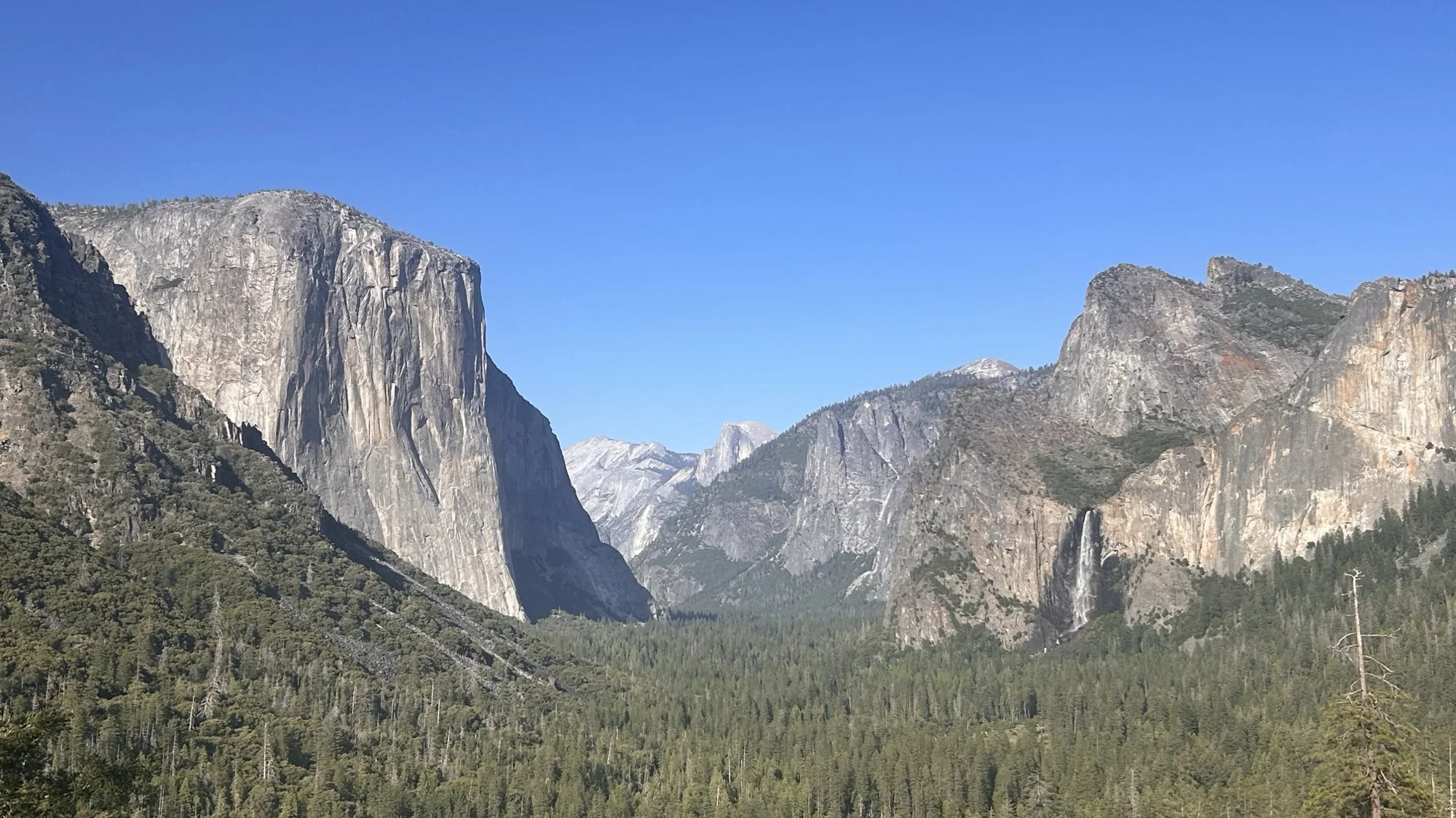


Yosemite Valley from Tunnel View
Trail library

Long journeys, one everyday walk at a time.

Begin with a real landscape or send today's miles somewhere impossible. Tahoe, Aurelia and Nix are ready now; the growing library shows exactly which journeys are still in development.

Quick wins · roughly 25–42 miles

Start with a finish line you can see.

Weekend-scale journeys build momentum before the continent-spanning expeditions. These sourced previews establish each route and completion concept; milestones, passport stamps, factual artwork and certificates come next.

Small trail · real accomplishment
Quick win
Weekend-scale trail · In development

Pictured Rocks Lakeshore Trail

A future 42-mile virtual walk on the North Country National Scenic Trail through Pictured Rocks, tracing Lake Superior beaches, forest, dunes and sandstone cliffs. The name here keeps the familiar lakeshore identity while the sourced corridor follows the NPS's current trail designation.

68 km2 preview anchors
Quick win
Weekend-scale trail · In development

Timberline Trail

A future 41.5-mile virtual circuit around Mount Hood, combining the named Timberline Trail with its shared Pacific Crest Trail segment. Glacial stream crossings, snow, weather and tread change; the virtual route will remain separate from current Forest Service planning information.

67 km2 preview anchors
Quick win
Weekend-scale trail · In development

Rae Lakes Loop

A future 41.4-mile virtual circuit from Road's End through Kings Canyon and over Glen Pass. The National Park Service currently warns that a washed-out South Fork Kings River bridge can make the loop hazardous or impossible at high water, so this preview is never a conditions report.

67 km2 preview anchors
Quick win
Weekend-scale trail · In development

Trans-Catalina Trail

A future 38.5-mile virtual island crossing from Avalon, around the western end via Parsons Landing, to Two Harbors. The production edition will use Conservancy-sourced geography, factual island imagery and current permit context.

62 km2 preview anchors
Quick win
Weekend-scale trail · In development

Skyline-to-the-Sea Trail

A future virtual edition of the roughly 33-mile Santa Cruz Mountains corridor from Castle Rock through Big Basin to Waddell Beach. Fire damage from the 2020 CZU Lightning Complex means the route is not currently open end to end; this preview celebrates the full corridor without implying access.

53 km2 preview anchors
Quick win
Weekend-scale trail · In development

Art Loeb Trail

A future 30.1-mile virtual journey across rugged Pisgah National Forest terrain from Davidson River to Camp Daniel Boone. Its four official sections make a natural passport-sized progression before a much longer Appalachian journey.

48 km2 preview anchors
Quick win
Weekend-scale trail · In development

Four Pass Loop

A future 28-mile virtual circuit through Colorado's Maroon Bells–Snowmass Wilderness, crossing West Maroon, Frigid Air, Trail Rider and Buckskin passes. Current permits, bear requirements, weather and river crossings remain the authority of the Forest Service.

45 km2 preview anchors
Quick win
Weekend-scale trail · In development

Lost Coast Trail

A future 24.6-mile virtual journey along the northern Lost Coast from Mattole to Black Sands Beach. The real route crosses tide-dependent beach sections and requires current BLM planning and permit information; this preview is a completion concept, not coastal safety guidance.

40 km2 preview anchors
Rooted in the real world

Trails with real ground beneath them.

Real routes retain geographic sources, attributed imagery, cultural context and safety limitations. Trail stops are narrative anchors, never turn-by-turn directions or current conditions.

Pacific · Desert · Mountain West

Western trails

Ocean edges, desert crossings, Sierra granite and the long spine of the Pacific states.

Long trail

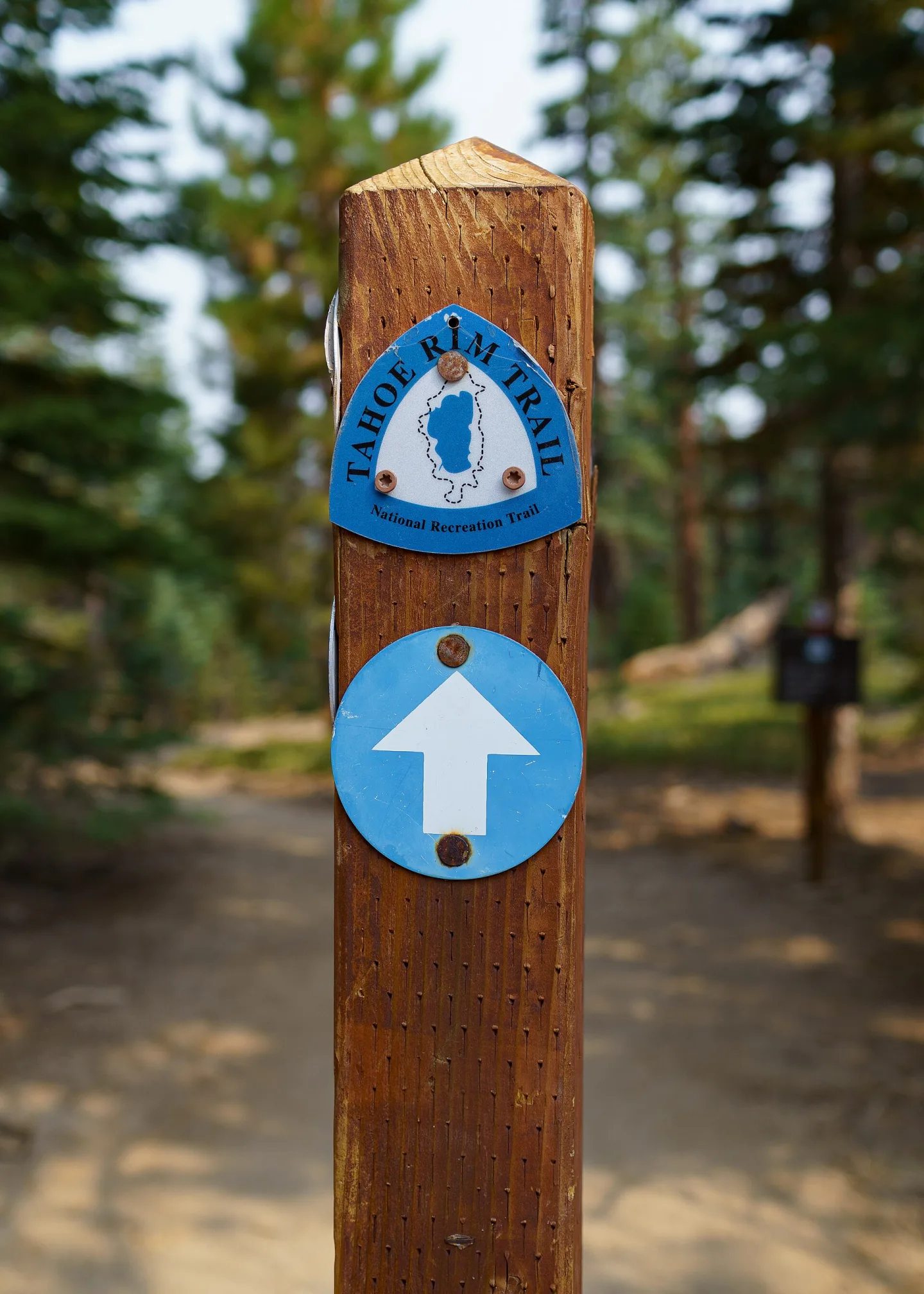
Tahoe Rim Trail

A high-country loop around the Lake Tahoe Basin through California and Nevada, paced here across the Tahoe Rim Trail Association's eight official trailhead segments. The virtual route uses the current segment total of 173.9 miles; the tread and published mileage can change over time.

280 km9 preview anchorsReady
Original poster queued
Pacific Crest Trail
Long trail · In development

Pacific Crest Trail

A future virtual journey along the Pacific crest from the Mexican border through California, Oregon and Washington to Canada. The preview uses PCTA's familiar 2,650-mile planning figure; milestones, licensed imagery, safety context and original poster art still need authoring.

4265 km2 preview anchorsIn development
Original poster queued
Pacific Northwest Trail
Long trail · In development

Pacific Northwest Trail

A future 1,200-mile virtual crossing from the Continental Divide to the Pacific Ocean through Montana, Idaho and Washington. Detailed termini, alternates, cultural context, milestones and licensed visual references remain intentionally unfilled in this catalog stub.

1931 km2 preview anchorsIn development
Original poster queued
Arizona Trail
Long trail · In development

Arizona Trail

An 800-mile future virtual crossing of Arizona from the Mexico border to Utah, linking desert, sky islands, forests, canyon country and high plateaus. Passage data, current-condition limits, sourced imagery and travel-poster art will be added before tracking opens.

1288 km2 preview anchorsIn development
Historic trail preview

California's Historic Mission Trail

An approximately eight-hundred-kilometre historical journey linking California's twenty-one Spanish missions from San Diego to Sonoma through living Indigenous homelands and a complex colonial history. This is not a continuous walking trail: safe pedestrian alignments, lodging, water, access and other services require independent, section-by-section planning.

800 km21 preview anchorsIn development
Original poster queued
Oregon Coast Trail
Long trail · In development

Oregon Coast Trail

A future coast-length virtual journey across beaches, forest paths, headlands and Oregon towns. The 362-mile preview is not a claim of continuous safe tread: official sources identify road shoulders, gaps and seasonally inaccessible sections that require careful later treatment.

583 km2 preview anchorsIn development
Original poster queued
John Muir Trail
Long trail · In development

John Muir Trail

A future 211-mile virtual Sierra journey from Yosemite Valley to Mount Whitney. This preview preserves the official corridor only; wilderness context, milestone sourcing, real imagery, permits language and an original fact-grounded travel poster remain in the art and research queue.

340 km2 preview anchorsIn development
Heartland · Great Lakes · Divide

Continental & northern trails

Glacial country, inland seas, open plains and the high Continental Divide.

Original poster queued
North Country Trail
Long trail · In development

North Country Trail

A future approximately 4,600-mile virtual journey across the northern United States, connecting plains, Great Lakes country, forests and the Northeast. Because the route continues to develop, its eventual milestone edition will require versioned official data and explicit connector notes.

7403 km2 preview anchorsIn development
Original poster queued
Continental Divide Trail
Long trail · In development

Continental Divide Trail

A future virtual route following the Continental Divide between Mexico and Canada through New Mexico, Colorado, Wyoming, Idaho and Montana. The approximately 3,100-mile corridor will return later for alternates, milestones, sources, safety context and original artwork.

4989 km2 preview anchorsIn development
Original poster queued
Ice Age Trail
Long trail · In development

Ice Age Trail

A future 1,200-mile virtual route through Wisconsin's glacial landscapes and the ancestral lands of fifteen Tribes. The complete edition will need careful cultural context, official segment status, licensed photography, stamps and a fact-grounded poster.

1931 km2 preview anchorsIn development
Original poster queued
Superior Hiking Trail
Long trail · In development

Superior Hiking Trail

A future 300-mile virtual walk along Minnesota's North Shore ridgeline, from the Minnesota–Wisconsin border to the 270 Degree Overlook near Canada. Trail sections, cultural context, milestone imagery and original campaign art will be developed later.

483 km2 preview anchorsIn development
Appalachians · Forests · Atlantic

Eastern trails

Green ridges, coastal wetlands and long routes connecting mountains to the sea.

Original poster queued
Appalachian Trail
Long trail · In development

Appalachian Trail

A future virtual journey from Springer Mountain to Katahdin through fourteen eastern states. The preview uses the Appalachian Trail Conservancy's 2026 official length of 2,197.9 miles; annual mileage updates, milestones, photography and poster work remain to be authored.

3537 km2 preview anchorsIn development
Original poster queued
Florida Trail
Long trail · In development

Florida Trail

A future approximately 1,300-mile virtual journey through Florida's wetlands, forests, rivers, prairies and coastal landscapes. The authored edition will preserve official routing choices, seasonal conditions, Indigenous context and the distinction between virtual and field guidance.

2092 km2 preview anchorsIn development
Original poster queued
Mountains-to-Sea Trail
Long trail · In development

Mountains-to-Sea Trail

A future 1,175-mile virtual crossing of North Carolina from the Great Smoky Mountains to the Outer Banks. The real route includes completed trail, connecting roads and an optional paddle route, distinctions the full milestone edition must preserve rather than smoothing away.

1891 km2 preview anchorsIn development
Original poster queued
Vermont Long Trail
Long trail · In development

Vermont Long Trail

A future 272-mile virtual journey along Vermont's Green Mountains from Massachusetts to Canada. This early catalog entry will return for official section data, Appalachian Trail overlap notes, sourced images, stamps and an original travel poster.

438 km2 preview anchorsIn development
Beyond Earth · Fictional collection

Take the long way around another world.

Original planets, impossible camps, and unapologetically retro travel campaigns. These routes are entertainment—not astronomy, geography, or field guidance—but every mile you log is real.

Artistic license: fully engaged
Off-world field test · Fictional

Aurelia Dune Traverse

Cross a copper desert beneath two suns, follow the singing basalt escarpment through permanent twilight, and finish under cold stars at the Nightward Observatory. An entirely original off-world expedition where ordinary Earth miles can have a little more imagination.

196 km10 preview marksReady to trackExplore
Off-world field test · Fictional

Nix Borealis Ice Circuit

Follow aurora light across a singing ice shelf, camp on black-rock islands, and circle a warm tidal rift beneath a ringed giant. This entirely fictional moon turns everyday walks into a bright, cold, unapologetically 1980s expedition.

144 km10 preview marksReady to trackExplore
Travel campaign queued
Far Lantern Grand Tour
Off-world destination · In development

Far Lantern Grand Tour

A capstone expedition through the Lantern System, reserved for travelers who have completed six earlier off-world journeys. This staged preview demonstrates route prerequisites; its eventual certificate will list both the grand tour and the qualifying expeditions that unlocked it.

310 km2 preview marks6 requiredExplore
Travel campaign queued
Pelagos Ring-Island Way
Off-world destination · In development

Pelagos Ring-Island Way

Walk luminous reef islands across a shallow global sea while the planet's rings cast a moving night across the water. This second-stage expedition unlocks after Vesper and will later receive causeway milestones, tide stamps and a resort-era science-fantasy poster.

204 km2 preview marks1 requiredExplore
Travel campaign queued
Caldera Nine Ember Circuit
Off-world destination · In development

Caldera Nine Ember Circuit

Circle a tidally locked volcanic moon along the cool rim between lava country and ash snow. This original off-world preview will receive a bold 1970s expedition poster, heat-shield stamps and illustrated caldera milestones in a later content pass.

168 km2 preview marksIn developmentExplore
Travel campaign queued
Redshift Canyon Relay
Off-world destination · In development

Redshift Canyon Relay

Bound through a low-gravity canyon system where crimson cliffs drift a few centimeters apart each year and relay beacons mark the safe story line. This preview is queued for kinetic 1980s poster art, beacon stamps and milestone panoramas.

156 km2 preview marksIn developmentExplore
Travel campaign queued
Vesper Cloud-Sea Traverse
Off-world destination · In development

Vesper Cloud-Sea Traverse

Cross a chain of basalt sky-islands above an endless cobalt cloud ocean, following wind harps and tether lights toward the floating city of Last Mooring. A fictional preview awaiting its expedition stages, original poster, milestone scenes and passport marks.

132 km2 preview marksIn developmentExplore
Travel campaign queued
Verdant Halo Canopy Route
Off-world destination · In development

Verdant Halo Canopy Route

Follow suspended rootways through the upper canopy of a forest moon, from the rainlit understory to a crown of leaves visible from orbit. This fictional preview reserves space for botanical milestone art, leaf-impression stamps and a warm 1960s eco-tourism campaign.

118 km2 preview marksIn developmentExplore
Looking for the Camino de Santiago?

Pilgrimage journeys have their own home.

Official Camino routes, recognized prologues, pilgrim credentials and Santiago-specific traditions belong on Virtual Camino. The two sites can recommend relevant journeys to each other, but accounts, cookies, progress and journals stay separate.

Explore Virtual Camino
The Hiker boundary

A virtual journey, not a field guide.

Curated progress

Distances and trail stops create a meaningful virtual route. They do not replace official maps, current closures, permits or local advice.

Clear provenance

Every promoted route keeps its source, classification and safety caveats so historical or pilgrimage context is never rewritten as trail authority.

Install Virtual Hiker

On iPhone or iPad, open Safari’s Share menu and choose Add to Home Screen. On Android, use your browser’s Install app or Add to Home screen option.