Tahoe Rim Trail
A high-country loop around the Lake Tahoe Basin through California and Nevada, paced here across the Tahoe Rim Trail Association's eight official trailhead segments. The virtual route uses the current segment total of 173.9 miles; the tread and published mileage can change over time.
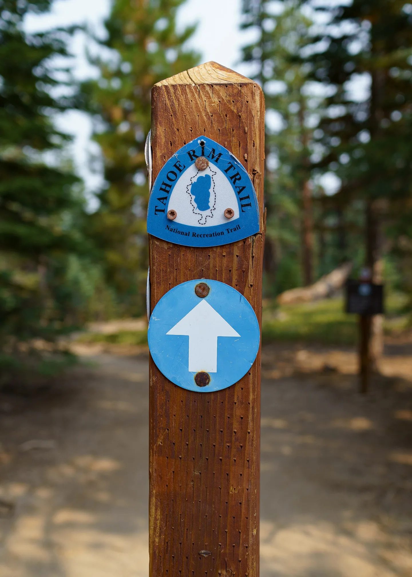
Curated orientation points rather than a turn-by-turn navigation guide. Route variants can change the exact distance. Tahoe marks follow the current eight published trailhead segments and total 173.9 miles; the trail association notes that mileage evolves over time.
-
Tahoe City USAkm 0.0 · USA
Begin beside the Truckee River, where the loop can be walked in either direction. Canonical milestones are listed clockwise; your journey may choose either direction.
Stop: trailhead · Elevation not recorded
-
 Brockway Summit USAkm 33.0 · USA
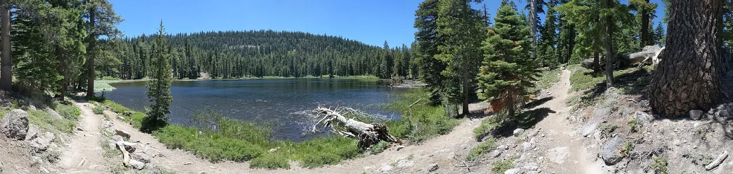
The first 20.5-mile segment passes Watson Lake and volcanic ridges above the Truckee River canyon.
Stop: trailhead · Elevation not recorded
-
 Tahoe Meadows USAkm 65.5 · USA
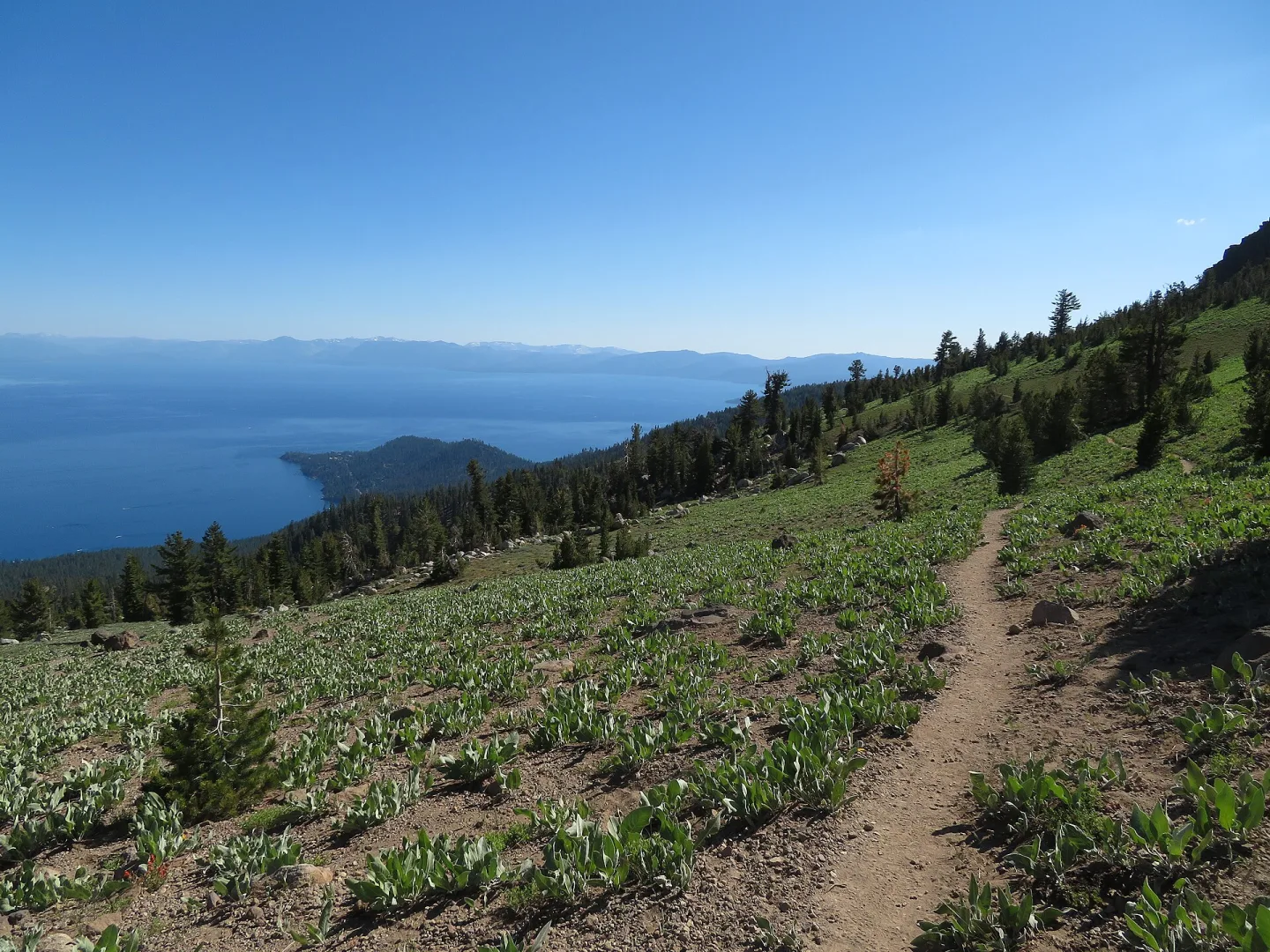
The route crosses Relay Peak, the trail's published high point at 10,338 feet, before reaching the Mt. Rose–Tahoe Meadows trailhead.
Stop: trailhead · Elevation not recorded
-
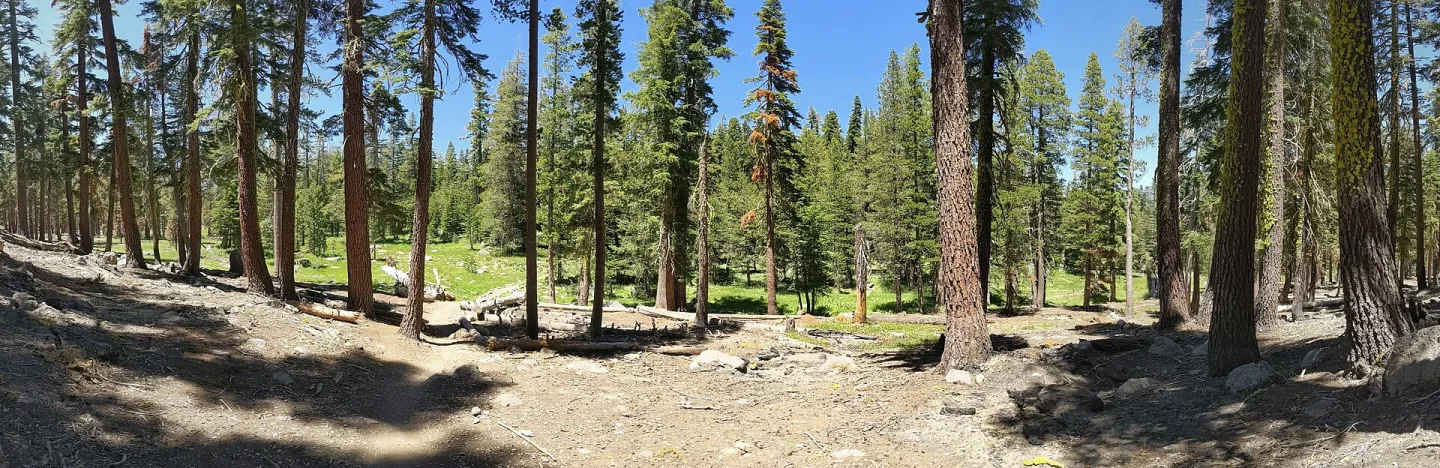 Spooner Summit USAkm 104.3 · USA
A 24.1-mile east-shore section opens views toward Marlette Lake, Snow Valley Peak and the Carson Range.
Stop: trailhead · Elevation not recorded
-
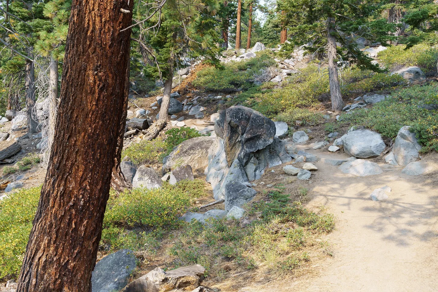 Kingsbury South Connector USAkm 134.9 · USA
Old firs, aspen groves and broad views of Lake Tahoe and Carson Valley shape this 19-mile segment.
Stop: trailhead · Elevation not recorded
-
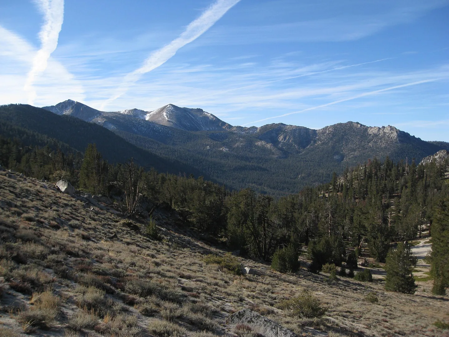 Big Meadow USAkm 171.7 · USA
The trail passes Star Lake beneath the basin's high southern peaks before descending toward Big Meadow.
Stop: trailhead · Elevation not recorded
-
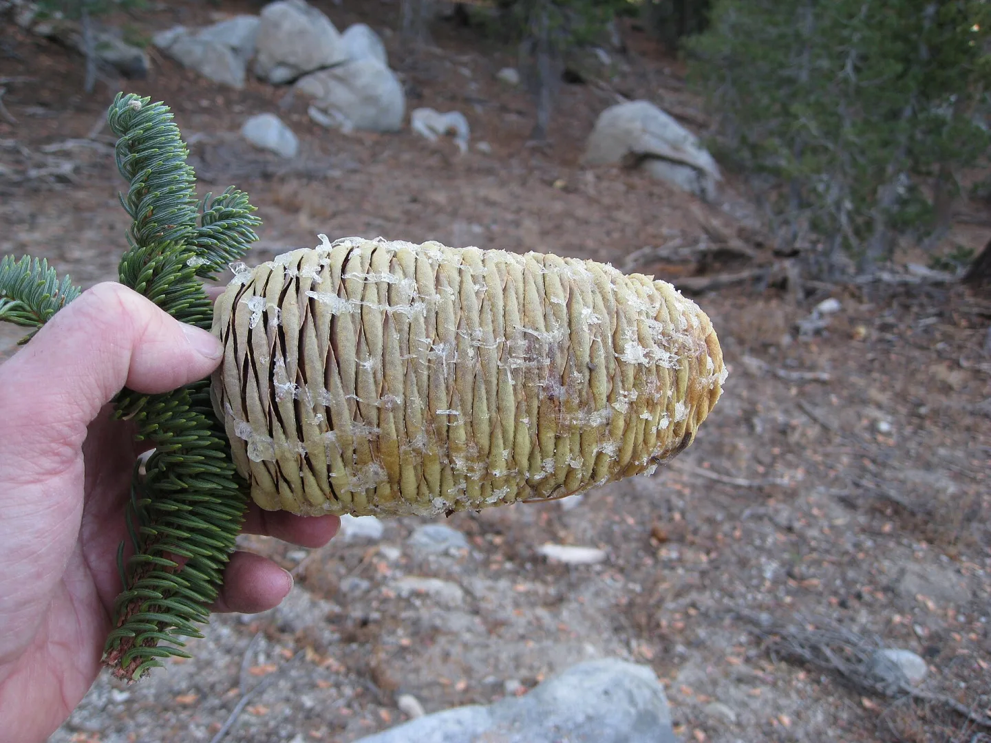 Echo Lakes USAkm 201.2 · USA
Round Lake, Meiss Meadows and Showers Lake lead to Echo Lakes, where the TRT shares tread with the Pacific Crest Trail.
Stop: trailhead · Elevation not recorded
-
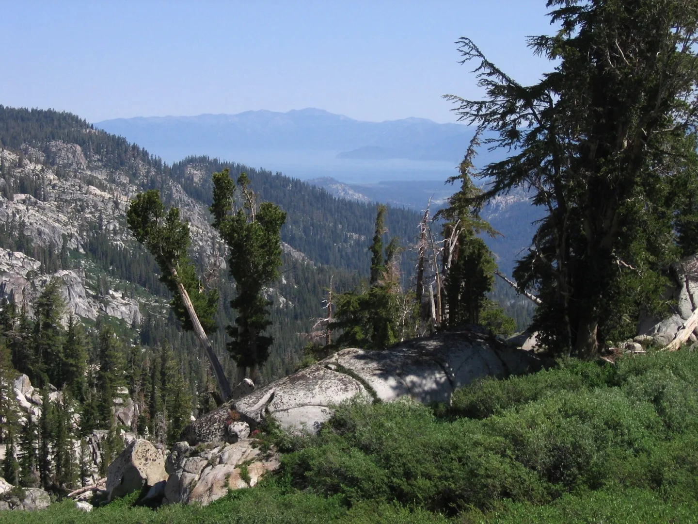 Barker Pass USAkm 253.5 · USA
The longest official segment crosses Desolation Wilderness past Lake Aloha, Dicks Pass and the Velma Lakes.
Stop: trailhead · Elevation not recorded
-
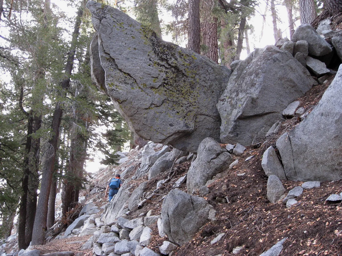 Tahoe City — Loop Complete USAkm 279.9 · USA
Creeks, wildflowers, Page Meadows and Ward Canyon close the final 16.4-mile arc back to Tahoe City.
Stop: trailhead · Elevation not recorded
Source and edition notes
Tahoe Rim Trail Association · reference-checked · Source reference checked 2026-10-16
This check concerns the linked source reference and virtual edition, not on-trail conditions. Unknown elevations are left absent; ascent and descent have not been collected for this edition.
Current information from the maintaining organizationThis is a virtual itinerary, not a navigation guide. Source material and mileage can change. Check the maintaining organization for current conditions, access, permits, water and camping information. A virtual rest is storytelling, not a campsite recommendation.